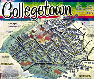
Thanks to Matt Nagowski, alum, for posting my map on his blog. I used GIS to process the building footprint and elevation data and did the rest in Photoshop and Illustrator together with old newspaper archives, phonebooks, yearbooks and interviews. It's the thing I'm proudest of most, so far.
Here to metaezra.com article.
No comments:
Post a Comment